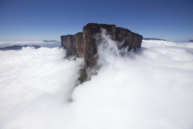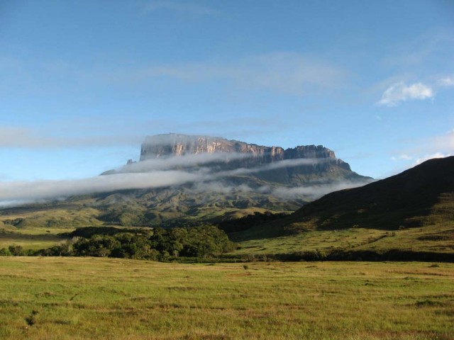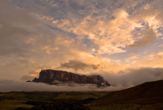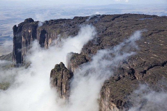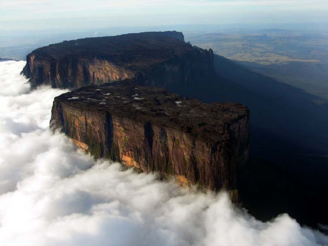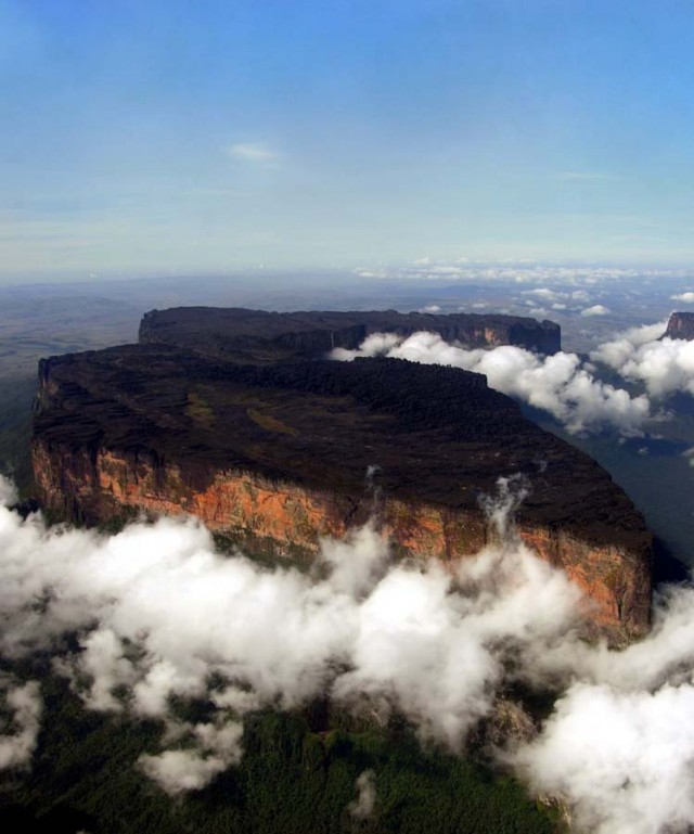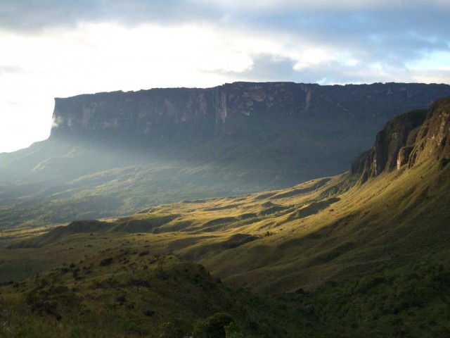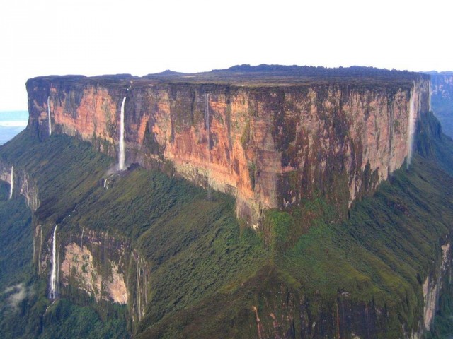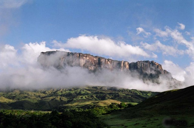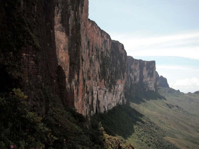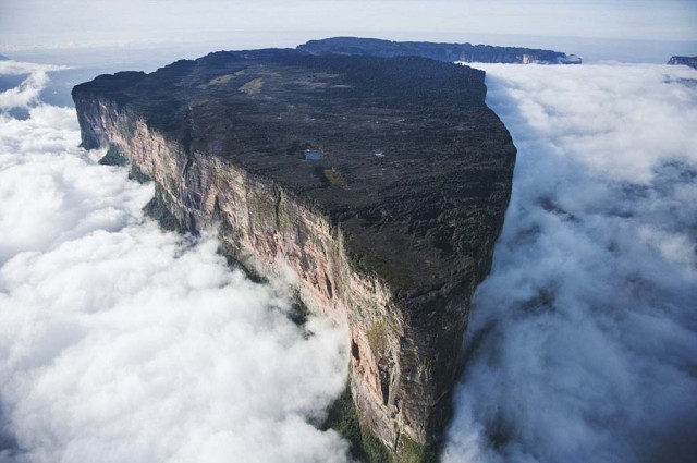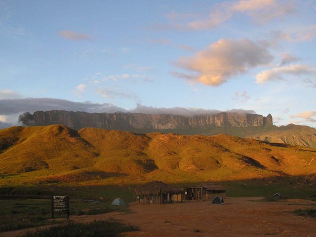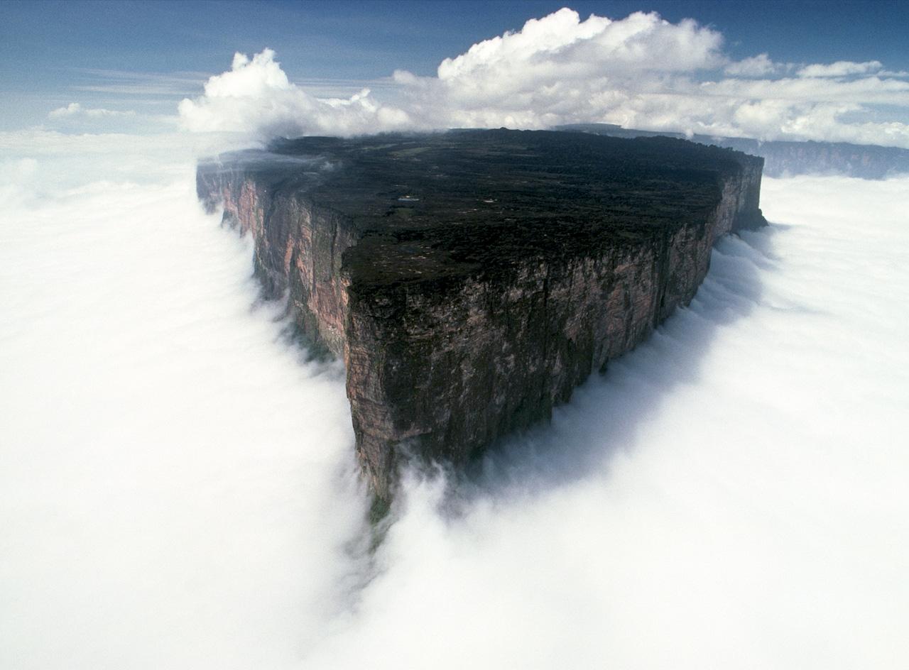
Mount Roraima, also known as Tepuy Roraima and Cerro Roraima; Portuguese: Monte Roraima is the highest of the Pakaraima chain of tepui plateaus in South America. Described by the English explorer Sir Walter Raleigh in 1596, its 31 km2 summit area is bounded on all sides by cliffs rising 400 metres (1,300 ft). The mountain also serves as the triple border point of Venezuela (claiming 85% of its territory), Brazil (5%) and Guyana (10%).[4]:156
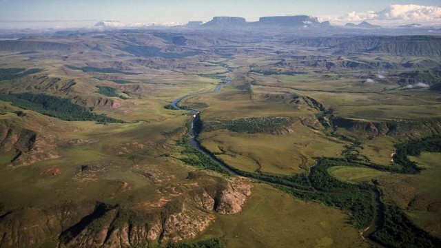
Mount Roraima lies on the Guiana Shield in the southeastern corner of Venezuela’s 30,000-square-kilometre (12,000 sq mi) Canaima National Park forming the highest peak of Guyana’s Highland Range. The tabletop mountains of the park are considered some of the oldest geological formations on Earth, dating back to some two billion years ago in the Precambrian.
The highest point in Guyana and the highest point of the Brazilian state of Roraima lie on the plateau, but Venezuela and Brazil have higher mountains elsewhere. The triple border point is at 5°12′08″N 60°44′07″W, but the mountain’s highest point is Maverick Rock, 2,810 metres (9,219 ft), at the south end of the plateau and wholly within Venezuela.